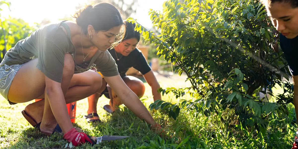

‘Āina Engagement looks to foster kinship and kuleana between kānaka and ‘āina. We create space for ʻāina collaboration, where like-minded people come together to innovate and elevate the quality of Hawaiian Culture-Based Education (HCBE). We work with kumu to strengthen their confidence and ability to integrate ʻāina into curricula. And through workshops, workdays, and other engagements, we work with keiki, kumu, and ‘ohana to strengthen their pilina ʻāina or connectedness to land. In 2021, we were given the privilege of stewarding two campus ʻāina sites—Hale Huliāmahi, a traditional hale loulu and sustainability hub, and Keanakamanō, a wahi kūpuna and thriving cultural garden.
Kapālama Place Names
Place names can refer to natural geographic locations, such as streams, peaks, rock formations, ridges, and offshore islands and reefs, or they can refer to Hawaiian divisions, such as the ahupua‘a (large land division), the ‘ili (smaller land divisions within an ahupua‘a), a garden, or a fishpond. Hawaiian place names are often descriptive, matching their literal translation, but sometimes they refer to historical or legendary figures. The definitive source for Hawaiian place name meanings is the book, Place Names of Hawaii by Mary Kawena Pukui, Samuel Ebert, and Esther Mo‘okini (Pukui et al 1974). All place name meanings listed in this report are from this source, unless otherwise noted. Many of these place names are associated with mo‘olelo (stories), mele (chants), and ‘ōlelo (proverbs).
Kapālama Ahupua‘a extends from the seacoast to the head of Kapālama (“the lama wood enclosure”) Gulch at approximately 4 kilometers from the coast. In the upper section of Kapālama, the high point of the ridge surrounding Kapālama Gulch defines the eastern and western boundary. Unlike most O‘ahu leeward ahupua‘a, it does not extend all the way to the Ko‘olau Mountains; instead it is “cut off” by Kalihi (“the edge”) Ahupua‘a on the western boundary and Nu‘uanu (“cool height”) Ahupua‘a on the eastern boundary.
The highest peak in Kapālama is Nāpu‘umai‘a (“the banana hills”), 1870 feet AMSL (above mean sea level) at the head of Waolani (“heavenly mountain area”) Valley, the western section of Nu‘uanu. An alternate name for this high peak may be Pāka‘aluna (meaning unknown). Waolani is also the name of a peak (1414 feet AMSL) on the ridge separating Kapālama from Nu‘uanu’s Waolani Valley. The boundary with Nu‘uanu then extends along the western boundary of ‘Ālewa (“suspended on a height”) Heights and then down to the coast on the east side of a high, rocky area called Kalaepōhaku (“the stone promontory”). The lower eastern boundary of Kapālama is ambiguous, as the early development of Honolulu town obscured boundary lines in the Honolulu coastal plain. On one early map, the eastern boundary of the ahupua‘a extends all the way to Nu‘uanu Stream, and includes within the ahupua‘a the large ‘ili of Kūwili (“stand swirling”) and Iwilei (“collarbone or a unit of measurement”), and the ponds (loko) Kūwili I and Kawa (possibly “precipice or leaping place”; Pukui and Elbert 1986:139). During the Māhele, Iwilei was considered an ‘ili of Honolulu, rather than Kapālama, and thus the eastern boundary of Kapālama extended only to the western point of Kūwili I Pond, generally following the modern alignment of Pālama and Alaneo streets, west of Liliha Street.
Keanakamanō (“the cave of the shark”) is the name of a peak (approximately 1500 feet AMSL) at the head of a narrow valley, also called Keanakamanō, on the western side of Kapālama. Tradition also talks of a cave called Keanakamanō, but its exact location is unknown. At the level coastal flats, the western boundary extends from the mouth of Keanakamanō Valley along a low pali (cliff) that separates Kapālama from the ‘ili of Mokauea (possibly “broken turtle place”; Thrum 1922:660) in Kalihi. This division line is generally the same as the present alignment of Waiakamilo Street and Houghtailing Street. The boundary point at the coast is the eastern edge of Ananoho Pond (possibly “dweller’s cave”; Thrum 1922:627) in Kalihi.
The ahupua‘a has two streams, the Kapālama and the Niuhelewai (“coconut going [in] water”). They merge and extend through the central fertile former taro and rice fields, an area also called Niuhelewai. This area drains into a pond called Kūwili II. There were two other named ponds, Kealia (possibly, “salt bed”) and Kapukui (meaning unknown), to the east of Kūwili II, shown as part of Kapālama or as part of Iwilei, depending on the map. The offshore waters were divided into the Iwilei, Kūwili, Kapālama, and Mokauea Fisheries, between the shore and a high reef called Koholaloa (“long reef”; Pukui et al. 1974:115). At low tide, several islands were clearly visible above this reef, Mokauea Island off Kalihi, and Koholaloa off Kapālama. In the early historic period, the island off Kapālama had several other names, including Mauliola (named for “a god of health”), Kamoku‘ākulikuli, (‘Ākulikuli plant island) and Akulikuli Island. Beginning in the 1840s, the reef area was dredged and the resulting material was used to connect and expand some of the small islands off the coast, to form Quarantine Island and ultimately Sand Island. The evolution of these names is discussed in greater detail in Section 3.3.8 on “Changes in Honolulu Harbor.”
Early historians have reported that there were at least four ceremonial structures in Kapālama, a shrine called Puea, and three heiau called Pāka‘aluna (or Pāka‘alanaluna), Oomaunahele and Paepaenuileimoku. Pāka‘aluna Heiau may have been located on or near Pāka‘aluna Peak, but the locations of the other three features are unknown. The meanings for these heiau namesnare also unknown.
Please call Hālau Kūkalaulama at (808) 842-8680 with any questions.